In meteorology, atmospheric pressure only describes the state of the atmosphere at the moment it is measured. Forecasters place greater emphasis on how pressure changes over time, together with humidity, temperature, wind direction, and the development of weather systems.
Why Does Falling Atmospheric Pressure Increase the Chance of Rain ?
Rain does not occur simply because atmospheric pressure is low. Instead, it forms because air within a low-pressure system tends to rise.
As the air rises, the surrounding atmospheric pressure decreases with altitude. The expanding air cools naturally. Once its temperature reaches the dew point, water vapor begins condensing into tiny droplets, forming clouds. If this upward motion continues, the clouds become thicker and may eventually produce precipitation.
This process takes time. Air must converge, rise, cool, and become saturated before rain can develop. Depending on the weather system, this may take anywhere from several tens of minutes to several hours.
This is why some low-pressure areas never produce rain. If the atmosphere is too dry or there is insufficient lifting to support cloud development, precipitation may not occur even though atmospheric pressure has already dropped.
There Is No Specific Pressure Value That Always Means Rain
Standard atmospheric pressure at sea level is approximately 1013.25 hPa. As a low-pressure system or trough approaches, atmospheric pressure typically begins to decrease.
Based on weather observations:
A pressure drop of 2–4 hPa over several hours often signals that weather conditions are becoming unstable.
A decrease of 5–8 hPa generally indicates a higher likelihood of rain or thunderstorms.
During tropical depressions or tropical cyclones, pressure may fall by more than 10 hPa within 24 hours.
These figures should not be interpreted as universal forecasting thresholds. Two locations with the same atmospheric pressure can experience completely different weather because humidity, temperature, terrain, and atmospheric circulation vary from one region to another.
The Rate of Pressure Change Matters More Than the Pressure Reading
Meteorological stations continuously monitor pressure trends rather than relying on a single measurement.
The greater the pressure difference between two regions, the stronger the resulting winds. These winds transport moisture, draw warm humid air into low-pressure areas, and promote the formation of convective clouds.
For example, a pressure drop from 1012 hPa to 1006 hPa within three hours indicates a rapidly changing atmosphere, whereas a steady reading of 1006 hPa throughout the day suggests relatively stable conditions.
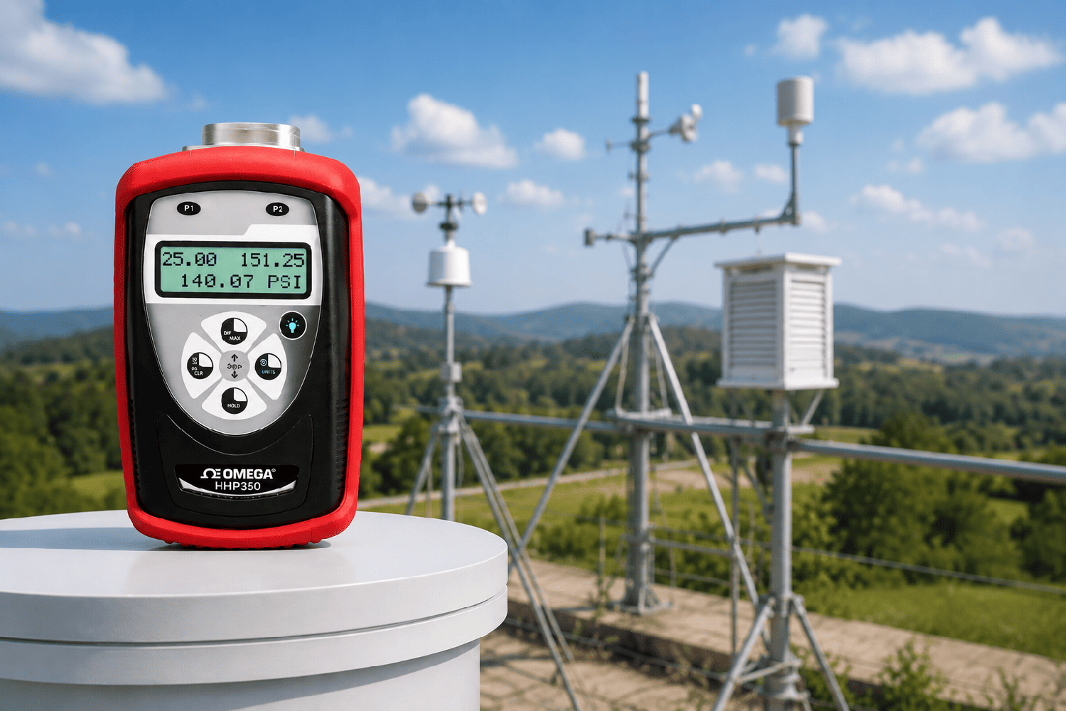
For this reason, many modern digital barometers include continuous data logging and graphical trend displays. A pressure trend graph often provides much more useful information than a single pressure reading shown on the screen.
Altitude Must Also Be Considered
Atmospheric pressure decreases naturally as elevation increases. Therefore, meteorological agencies around the world convert measurements to sea-level pressure before analyzing weather maps.
Without altitude correction, a pressure reading taken in Sa Pa will always be lower than one recorded in Hanoi, even when both locations are influenced by the same weather system.
As a general rule:
Atmospheric pressure decreases by approximately 1 hPa for every 8 meters (26 feet) of elevation gain near sea level.
A barometer installed in Da Lat will consistently display a lower pressure than one located in Ho Chi Minh City, even if weather conditions are otherwise similar.
Why Does My Weather App Predict Rain While My Barometer Shows Little or No Change ?
A barometer measures atmospheric pressure only at the location where the instrument is installed.
Weather forecasting applications, however, combine information from weather radar, satellites, numerical weather prediction models, cloud imagery, and thousands of observation stations. As a result, they can predict rainfall developing tens of kilometers away even before the local atmospheric pressure changes noticeably.
Applications of Atmospheric Pressure Meters
In addition to weather monitoring, atmospheric pressure is an important environmental parameter in many industries, including:
Calibration and metrology laboratories
Meteorological and environmental research
Aviation and marine operations
Evaluating storage conditions for laboratory samples
Correcting certain flow, volume, and gas measurements
Many modern electronic barometers also integrate temperature and humidity sensors, onboard data logging, and computer connectivity. Instead of viewing pressure at a single moment, users can monitor pressure trends over hours or days to better understand changing atmospheric conditions.
When using a barometric pressure meter, do not rely solely on the current pressure reading. Instead, monitor the pressure trend over several hours or even several days. Changes in atmospheric pressure over time provide a much clearer indication of evolving weather conditions.
For more accurate weather assessment, pressure trends should always be interpreted alongside humidity, temperature, wind direction, and the elevation of the measurement location.